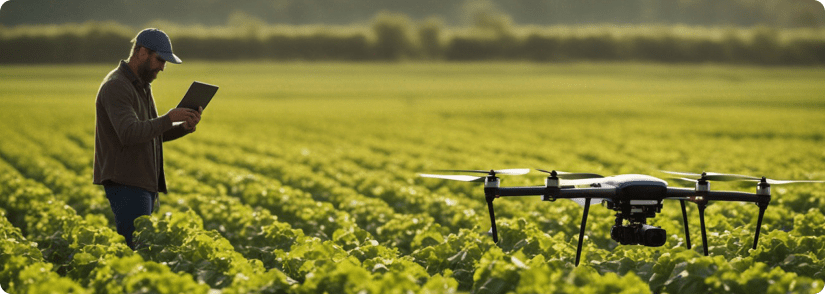
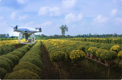
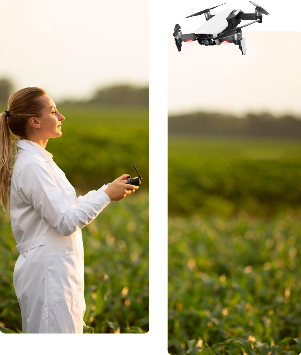
We map fields with drones, generate spray prescriptions, and deliver targeted spraying with agricultural robotics—so you use less chemical, hit the right spots, and document results with measurable ROI.
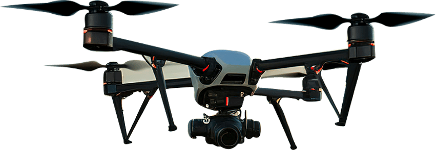
Utilize state-of-the-art drones, satellites, and ground sensors to gather critical data.
Advanced data processing and analytics, leveraging AI for classifications
Receive detailed, easy-to-understand reports with in-depth analysis reccomendations.
Benefit from reports that include the latest weather data collection
Access practical, science- based guidance to enhance sustainability.
About Us
Transforming Land Management with GIS, Robotics & AI
Farming and environmental land management are stuck in reactive cycles. Weeds spread before they’re detected, are often misidentified, and the wrong chemicals are applied—damaging soil and creating zones of long-term non-productivity.
Our vision is a world where fields self-report threats, weed outbreaks are precision-controlled before they spread, and farmers act as data-driven strategists commanding fleets of task-specific robots. IntelAutomatics is building the AI-powered nervous system to make this future a reality.
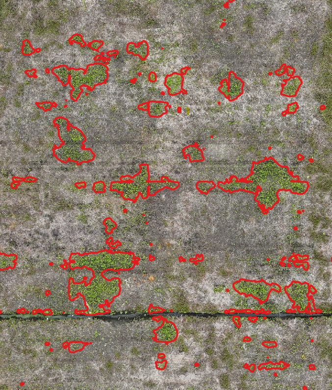
Today, we’re focused on early weed identification and targeted herbicide application in agriculture. Using drone imagery and proprietary AI, we detect and delineate invasive weed species 98% faster than a human, generating precision spray maps that are fully compatible with autonomous spraying systems.
We’re currently working with leading cranberry growers and agricultural companies to refine our core platform, laying the groundwork for broader deployment across crop types, regions, and eventually into forestry, aquatic systems, and ecological conservation.
Our team brings deep expertise across AI, robotics, geospatial analytics, and field operations. We’ve walked the farms, collaborated with scientists, and validated our technology through real-world results.
We’re not just digitizing fields—we’re redefining what’s possible with technology in land stewardship today.
Get 2 cm ground precision — ideal for targeted spraying, crop analysis, and geospatial land management
AI Weed Detection
Trained on high-quality field data, our proprietary AI model detects weeds up to 98% faster than manual scouting
Herbicide Analysis
We use multispectral drones and proprietary tools to detect treatment success and identify resistant weed species early
AI+Robotics Integration
Our AI outputs GIS-ready files for seamless integration with autonomous sprayers — reach out to join early trials in Q1 2026
Maps: Web Application
Based on customer feedback, we're developing a cloud-based GIS app where you can view your fields, access key metrics, and track progress
Scalable Farmer-Centric
Whether you're managing 10 or 1,000 acres, our tools scale with your operation and deliver results. Get your farm scored today
Services
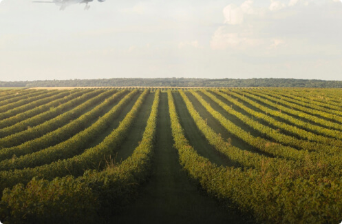
Drone Mapping
High-resolution RGB and multispectral drone surveys to monitor crop health and support precision weed management and prescription mapping.
Targeted Application
Map-guided, targeted herbicide application using precision sprayers and agricultural robotics—designed to reduce over-application and document as-applied coverage.
Maps & Reporting
Secure online delivery of maps and outputs—view layers, compare flights over time, and share results with your team.
Applications
Farming
Gain insights into Precision Irrigation, Fertilizer and Pesticide requirements
Forestry
Forest inventory information, Locate and count invasive species, track new bark beetle attacks, estimate drought and more.
Others
Need information on a location to make an informed decision? We offer customized solutions for your specific requirements. Contact us through our form below to get in touch.
Transform
CONTACT US
Get in touch with the Future of Farming
CONTACT US
We use drones, satellites, and ground sensors to gather essential information about soil health, water content, and plant stress.