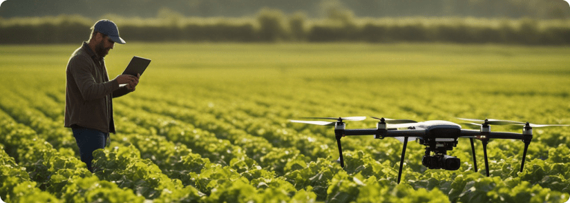
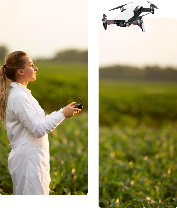
IntelAutomatics builds AI field intelligence and automation tools for agriculture. We combine drone imagery, geospatial mapping, machine learning, and GPS-guided field systems to help growers detect problems, plan treatments, and guide work in the field.
Our current focus is specialty crop production, starting with cranberry growers. FieldPilot helps identify weed pressure, crop stress, and management zones, then turns those insights into practical field actions such as treatment maps, guided scouting, precision spraying, and future variable-rate fertilization.
We are building toward a future where agricultural imagery connects directly to autonomous field operations.
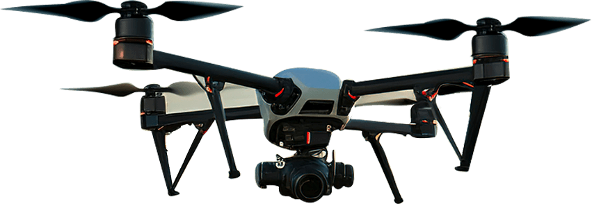
High-resolution drone and geospatial mapping to create accurate digital views of each field.
AI Field Intelligence
Machine learning models detect weeds, crop stress, and field patterns that are difficult to measure manually.
GPS-Guided Field Work
Guide workers and field devices to the right areas using mobile maps, GPS tracking, and field-ready workflows.
Built for Automation
Designed to connect AI field intelligence with sprayers, drones, and future robotic field systems.
Grower Web Portal
View maps, layers, field progress, and crop insights through a cloud-based grower platform.
Treatment Planning
Convert field insights into treatment zones for weed control, crop health, and precision fertilization workflows.
Tested in Real Cranberry Fields
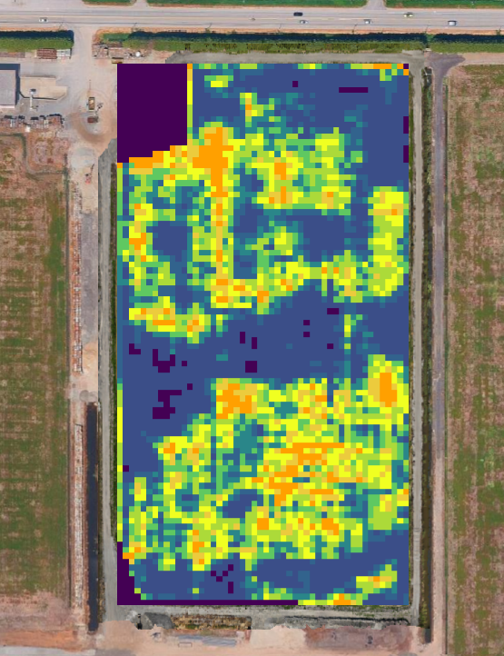
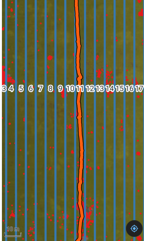
FieldPilot was tested in cranberry fields using AI-generated weed maps and GPS-guided workflows to identify target areas, guide field movement, and validate coverage.
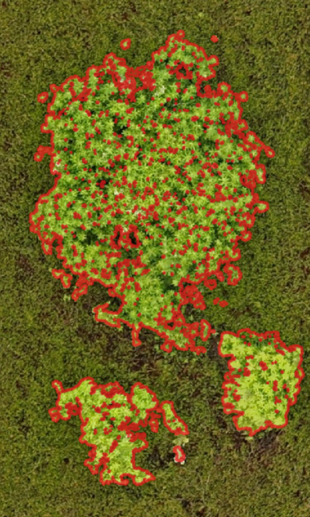
AI Weed Detection
Weed patches are identified from drone imagery and converted into treatment zones.
GPS Field Guidance
Mobile maps guide field crews to target areas and show movement in the field.
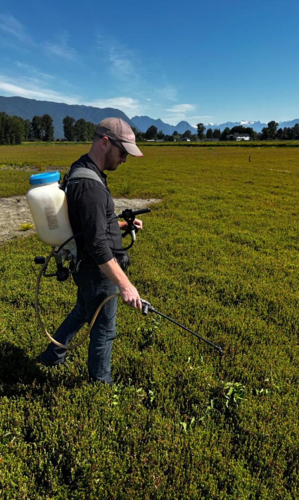
Field-Tested Workflow
Our GPS backpack attachment helps guide spraying workflows in real cranberry field conditions.
Applications
Precision Weed Management
Detect weed hotspots, generate treatment zones, guide field crews, and validate coverage.
Crop Health & Field Intelligence
Identify stressed areas, weak zones, and changing field conditions using drone imagery and AI analysis.
Precision Fertilization Support
Use imagery and geospatial data to support variable-rate fertilization planning, treatment zones, and field trials.
Transform
CONTACT US
Get in touch with the Future of Farming
CONTACT US
We use drones, satellites, and ground sensors to gather essential information about soil health, water content, and plant stress.